www.stateofthecoast.scot
www.stateofthecoast.scot
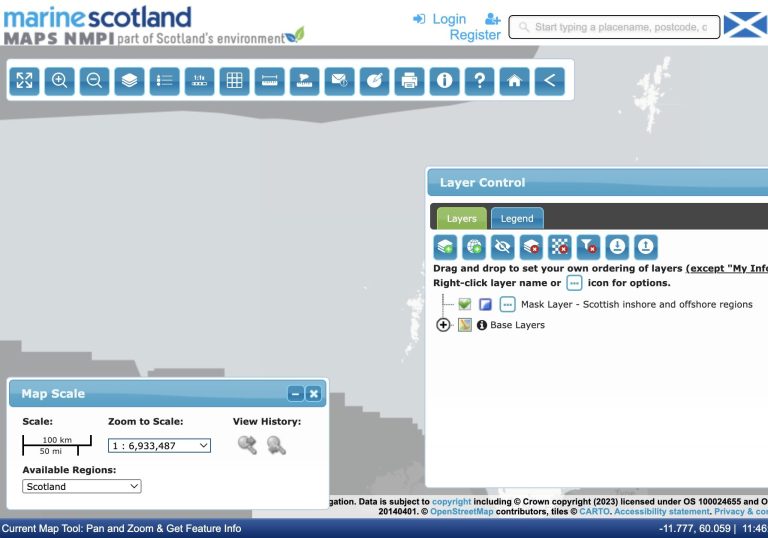
This interactive tool enables access to spatial information relating to the marine environment and activities, and has been designed to assist in the development of national and regional marine planning. National Marine Plan interactive (NMPi) allows you to view different types of information and, where appropriate, links have been provided to the related parts of Scotland's Marine Atlas and to the National Marine Plan.
We need your consent to load the translations
We use a third-party service to translate the website content that may collect data about your activity. Please review the details in the privacy policy and accept the service to view the translations.